26.03.31.14285.1 MB
CC-BY-NC-4.0
strict
core24
GIS, Vector Based Spatial Analysis
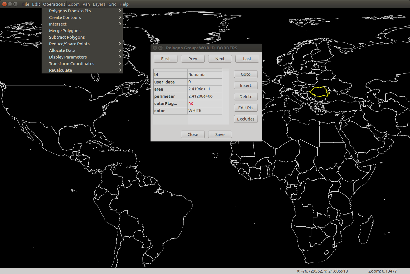
Feature Summary:
- Graphically create and edit geometric data
- Import Shapefiles and OpenStreetMap data
- Use raster images as background and a CAD drawing as an overlay
- Transform coordinates based on the Proj4 library.
- Color polygons based on user data values using either discrete intervals or gradients
- Allocate point data to user specified buffers for points, polygons and multilines
- Allocate point data to polygons.
- Allocate polygon data to other polygons.
- Create thiessen polygons.
- Create data contours.
- Create contour polygons.
- Calculate the area and perimeter of irregular polygons, including exclusion polygons.
- Data is stored in an open database allowing manipulation by other software
Update History
26.03.31 (41) → 26.03.31.1 (42)14 May 2026, 14:45 UTC
26.02.19 (40) → 26.03.31 (41)4 Apr 2026, 13:26 UTC
26.02.19 (40) → 26.03.31 (41)2 Apr 2026, 14:53 UTC
25.10.10 (34) → 26.02.19 (40)19 Feb 2026, 04:13 UTC
25.10.10 (34)13 Dec 2025, 09:47 UTC
4 Feb 2019, 04:59 UTC
12 May 2026, 23:19 UTC
13 Dec 2025, 09:47 UTC